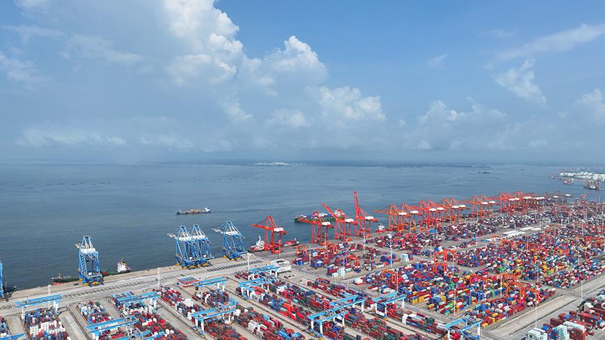
South China coastal provinces brace for Typhoon Kajiki
HAIKOU/GUANGZHOU, Aug. 23 (Xinhua) -- South China's Hainan and Guangdong provinces have been placed on alert as Typhoon Kajiki, the 13th typhoon of the year, is forecast to bring gales and rainstorms.
At 11 a.m. Saturday, Hainan activated a Level IV emergency response for flood and typhoon control, as strong winds and downpours are expected to hit its sea areas and island, according to the provincial disaster prevention, mitigation and relief commission.
Meanwhile, Guangdong's headquarters for flood and typhoon control and drought relief launched a Level IV emergency response for typhoon control, as the province's waters saw strengthened winds.
According to Guangdong's provincial meteorological observatory, heavy rains and strong winds are forecast to sweep the Leizhou Peninsula and the coastal areas of the cities of Maoming, Yangjiang and Jiangmen between Sunday and Monday.
Typhoon Kajiki developed from a tropical depression over the South China Sea on Saturday morning. At 8 a.m., its center was located around 770 kilometers east of Hainan's Sanya City over the sea, with a maximum wind speed of 18 meters per second and a central pressure of 998 hectopascals.
The typhoon is forecast to continue moving in a west-northwest direction at about 25 kilometers per hour, with its intensity further strengthening. It is likely to make landfall or pass close to the southern coast of Hainan Island around Sunday evening, before heading toward the central and northern coastal regions of Vietnam.
Photos
Related Stories
- 2 to 3 typhoons to land in or affect China in August
- China activates emergency response as Typhoon Co-May approaches
- East China province prepares for typhoon Co-May's comeback
- 2 Chinese coastal provinces activate emergency measures as Typhoon Francisco nears
- China's Wing Loong UAV completes mission for typhoon monitoring
Copyright © 2025 People's Daily Online. All Rights Reserved.


